Mapa Targeo
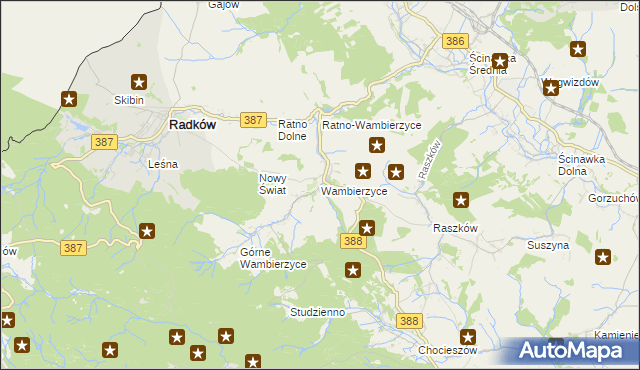
Wambierzyce
Turystyka
Atrakcja turystyczna
Szczyt
Wstaw tę mapkę na swoją stronę
lub utwórz własną mapę w
Kreatorze map Targeo
Warunki korzystania z Targeo MapShot
Przejdź na dużą mapę
Przejdź na dużą mapę
Planowanie i optymalizacja tras dla Twojej branży
Szczyt w Wambierzyce
Atrakcja turystyczna
na mapie Targeo
Gmina Radków
Powiat kłodzki
Województwo dolnośląskie
Punkty z kategorii Szczyt w miejscowości Wambierzyce i okolicach
Niżawka (niżkowa), Chocieszów, Chocieszów
Bogatka, Raszków, Raszków
, Radków
Inne punkty z kategorii Szczyt w miejscowości Wambierzyce i okolicach
, Batorów, Szczytna
, Ścinawka Górna, Ścinawka Górna
Góra Wszystkich Świętych (Kościelec), Aleja Najświętszej Marii Panny, Nowa Ruda
© 2003-2024 AutoMapa Sp. z o.o.
Moje Targeo
Kreator map
Zgłoś uwagę
Dodaj punkt
Panel użytkownika
Warunki użytkowania
Funkcjonalności
Geokodowanie
Trasy i traffic
Geomarketing
Monitoring
Funkcje API
Targeo PRO
Usługi dla biznesu
Kurierzy
Spedycja
Taksówki
Sieć sprzedaży
Reklamodawcy
Strony WWW
Informacje
Oferty pracy
Pomoc
Regulamin
Polityka prywatności
Kontakt
Kontakt dla biznesu
Ustawienia plików cookie


") Niżawka (niżkowa), Chocieszów, Chocieszów
Niżawka (niżkowa), Chocieszów, Chocieszów