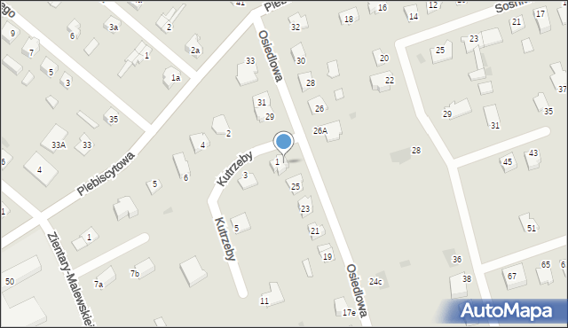
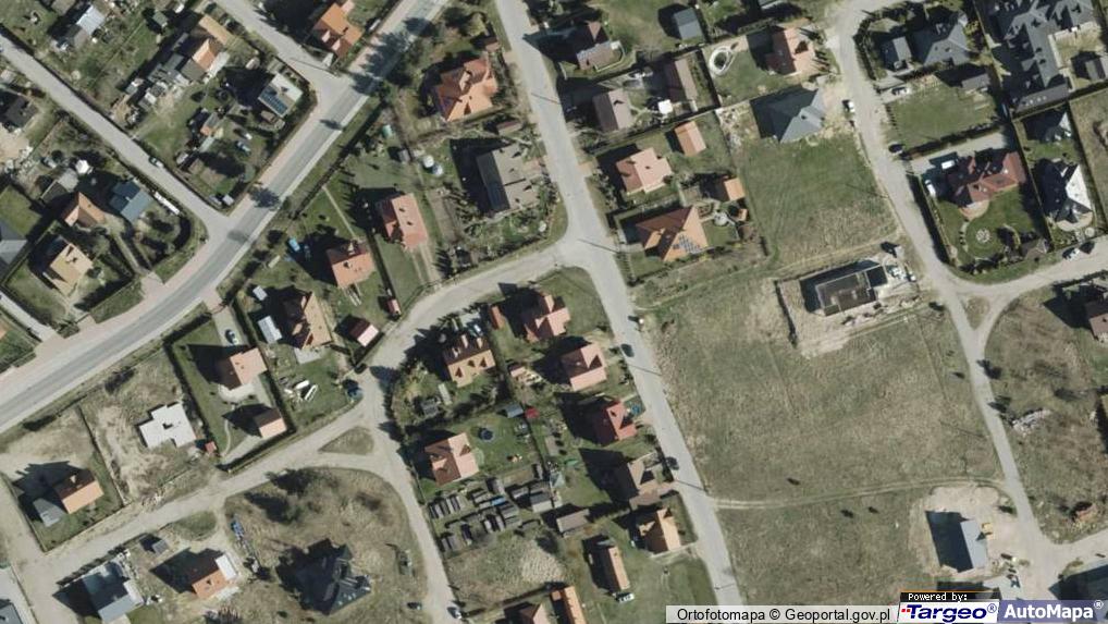
Osiedlowa 27
Mapa Targeo
Adresy Ostróda
Wstaw tę mapkę na swoją stronę
lub utwórz własną mapę w
Kreatorze map Targeo
Warunki korzystania z Targeo MapShot
Przejdź na dużą mapę
Przejdź na dużą mapę
Poznaj sposób na uporządkowanie bazy danych adresowych
Osiedlowa 27 (ul)
14-100
Ostróda
Gmina Ostróda
Powiat ostródzki
Województwo warmińsko-mazurskie
Ulice w pobliżu
Ostróda, Kutrzeby Tadeusza, gen., Ulica (14-100)
Ostróda, Zientary-Malewskiej Marii, Ulica (14-100)
Ostróda, Sosnkowskiego Kazimierza, gen., Ulica (14-100)
Najbliższe obszary kodów pocztowych
Kod pocztowy 14-100
Adresy w pobliżu
Ostróda, Kutrzeby Tadeusza, gen. 1, Ulica (14-100)
(→ 6 m)
Ostróda, Osiedlowa 25, Ulica (14-100)
(→ 20 m)
Ostróda, Kutrzeby Tadeusza, gen. 3, Ulica (14-100)
(→ 32 m)
Ostróda, Osiedlowa 26A, Ulica (14-100)
(→ 39 m)
Ostróda, Osiedlowa 29, Ulica (14-100)
(→ 40 m)
Ostróda, Osiedlowa 23, Ulica (14-100)
(→ 40 m)
Ostróda, Kutrzeby Tadeusza, gen. 2, Ulica (14-100)
(→ 50 m)
Ostróda, Osiedlowa 28, Ulica (14-100)
(→ 68 m)
Ostróda, Kutrzeby Tadeusza, gen. 11, Ulica (14-100)
(→ 110 m)
Ostróda, Osiedlowa 24c, Ulica (14-100)
(→ 118 m)
© 2003-2026 AutoMapa Sp. z o.o.
Moje Targeo
Kreator map
Zgłoś uwagę
Dodaj punkt
Panel użytkownika
Warunki użytkowania
Zarządzanie dostawami
Optymalizacja trasy
Optymalizacja stref dostaw
Cyfrowe potwierdzenie odbioru
Operacje dostaw
Zarządzanie podwykonawcami
Inteligencja lokalizacji
Geokodowanie
Wybór lokalizacji
Analityka przestrzenna
Planowanie zasobów
Zarządzanie ryzykiem
Branże
Firmy kurierskie
Logistyka specjalistyczna
Handel detaliczny
Cateringi pudełkowe
Finanse i ubezpieczenia
Energetyka i infrastruktura
Służby ratunkowe
Informacje
Oferty pracy
Pomoc
Regulamin
Polityka prywatności
Kontakt
Kontakt dla biznesu
Ustawienia plików cookie