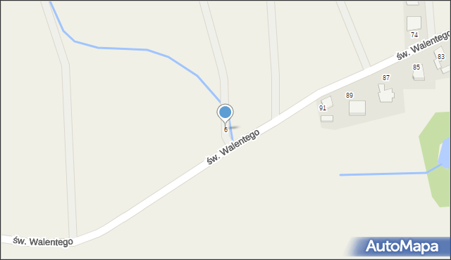
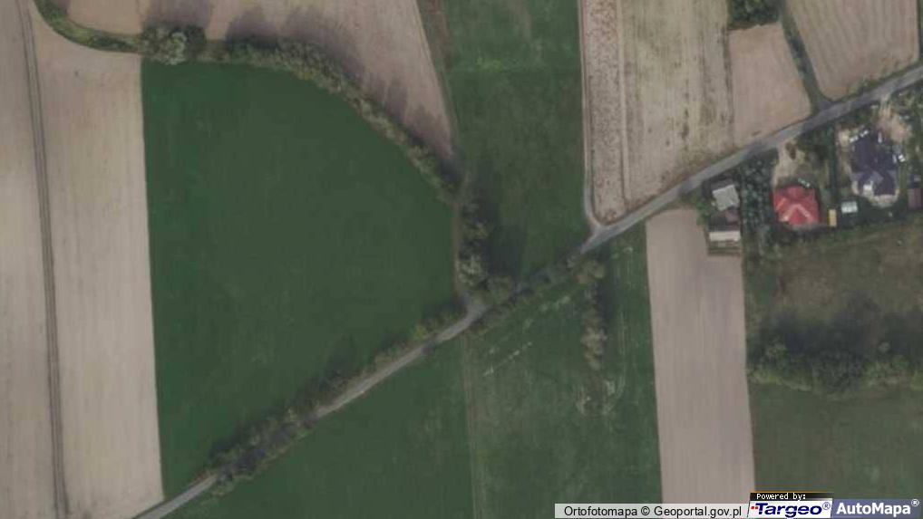
Ostrolesie 6
Mapa Targeo
Adresy Ostrolesie
Wstaw tę mapkę na swoją stronę
lub utwórz własną mapę w
Kreatorze map Targeo
Warunki korzystania z Targeo MapShot
Przejdź na dużą mapę
Przejdź na dużą mapę
Planowanie i optymalizacja tras dla Twojej branży
Ostrolesie 6 (ul)
64-500
Ostrolesie
Gmina Szamotuły
Powiat szamotulski
Województwo wielkopolskie
Ulice w pobliżu
Ostrolesie, św. Walentego, Ulica (64-500)
Ostrolesie, Ostrolesie, Ulica (64-500)
Jastrowo, św. Walentego, Ulica (64-500)
Najbliższe obszary kodów pocztowych
Kod pocztowy 64-500
Adresy w pobliżu
Ostrolesie, św. Walentego 91, Ulica (64-500)
(→ 103 m)
Ostrolesie, św. Walentego 89, Ulica (64-500)
(→ 133 m)
Ostrolesie, św. Walentego 87, Ulica (64-500)
(→ 173 m)
Ostrolesie, św. Walentego 78, Ulica (64-500)
(→ 179 m)
Ostrolesie, św. Walentego 82, Ulica (64-500)
(→ 190 m)
Ostrolesie, św. Walentego 85, Ulica (64-500)
(→ 207 m)
Ostrolesie, św. Walentego 74, Ulica (64-500)
(→ 218 m)
Ostrolesie, św. Walentego 76, Ulica (64-500)
(→ 221 m)
Ostrolesie, św. Walentego 83, Ulica (64-500)
(→ 235 m)
Ostrolesie, św. Walentego 86, Ulica (64-500)
(→ 326 m)
© 2003-2026 AutoMapa Sp. z o.o.
Moje Targeo
Kreator map
Zgłoś uwagę
Dodaj punkt
Panel użytkownika
Warunki użytkowania
Zarządzanie dostawami
Optymalizacja trasy
Optymalizacja stref dostaw
Cyfrowe potwierdzenie odbioru
Operacje dostaw
Zarządzanie podwykonawcami
Inteligencja lokalizacji
Geokodowanie
Wybór lokalizacji
Analityka przestrzenna
Planowanie zasobów
Zarządzanie ryzykiem
Branże
Firmy kurierskie
Logistyka specjalistyczna
Handel detaliczny
Cateringi pudełkowe
Finanse i ubezpieczenia
Energetyka i infrastruktura
Służby ratunkowe
Informacje
Oferty pracy
Pomoc
Regulamin
Polityka prywatności
Kontakt
Kontakt dla biznesu
Ustawienia plików cookie