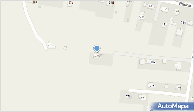
Rudnik 72A
Mapa Targeo
Adresy Rudnik gmina Wólka
Wstaw tę mapkę na swoją stronę
lub utwórz własną mapę w
Kreatorze map Targeo
Warunki korzystania z Targeo MapShot
Przejdź na dużą mapę
Przejdź na dużą mapę
Poznaj sposób na uporządkowanie bazy danych adresowych
Rudnik 72A (ul)
20-258
Rudnik
Gmina Wólka
Powiat lubelski
Województwo lubelskie
Ulice w pobliżu
Elizówka, Elizówka, Ulica (20-160)
Lublin, Dębowa, Ulica (20-221)
Rudnik, Rudnik, Ulica (20-258)
Najbliższe obszary kodów pocztowych
Kod pocztowy 20-258
Kod pocztowy 21-003
Punkty w pobliżu
Kapliczka, Figura Świętych, Krzyż, Dębowa 25c, 20-221 Lublin
Adresy w pobliżu
Rudnik, Rudnik 71, Ulica (20-258)
(→ 119 m)
Rudnik, Rudnik 70a, Ulica (20-258)
(→ 120 m)
Rudnik, Rudnik 77I, Ulica (20-258)
(→ 128 m)
Rudnik, Rudnik 55E, Ulica (20-258)
(→ 136 m)
Rudnik, Rudnik 55F, Ulica (20-258)
(→ 139 m)
Rudnik, Rudnik 55D, Ulica (20-258)
(→ 147 m)
Rudnik, Rudnik 57b, Ulica (20-258)
(→ 148 m)
Rudnik, Rudnik 77a, Ulica (20-258)
(→ 150 m)
Rudnik, Rudnik 77J, Ulica (20-258)
(→ 151 m)
Rudnik, Rudnik 73n, Ulica (20-258)
(→ 395 m)
© 2003-2026 AutoMapa Sp. z o.o.
Moje Targeo
Kreator map
Zgłoś uwagę
Dodaj punkt
Panel użytkownika
Warunki użytkowania
Zarządzanie dostawami
Optymalizacja trasy
Optymalizacja stref dostaw
Cyfrowe potwierdzenie odbioru
Operacje dostaw
Zarządzanie podwykonawcami
Inteligencja lokalizacji
Geokodowanie
Wybór lokalizacji
Analityka przestrzenna
Planowanie zasobów
Zarządzanie ryzykiem
Branże
Firmy kurierskie
Logistyka specjalistyczna
Handel detaliczny
Cateringi pudełkowe
Finanse i ubezpieczenia
Energetyka i infrastruktura
Służby ratunkowe
Informacje
Oferty pracy
Pomoc
Regulamin
Polityka prywatności
Kontakt
Kontakt dla biznesu
Ustawienia plików cookie


 Kapliczka, Figura Świętych, Krzyż, Dębowa 25c, 20-221 Lublin