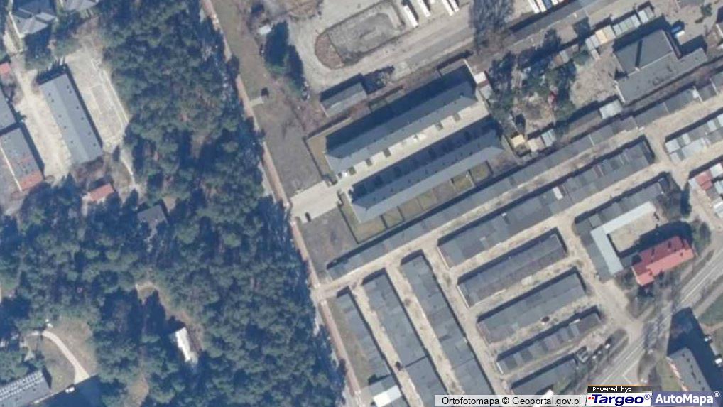
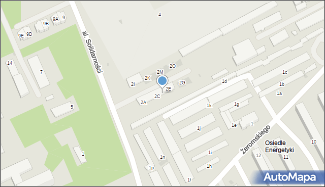
Aleja Solidarności 2D
Mapa Targeo
Adresy Kozienice
Wstaw tę mapkę na swoją stronę
lub utwórz własną mapę w
Kreatorze map Targeo
Warunki korzystania z Targeo MapShot
Przejdź na dużą mapę
Planowanie i optymalizacja tras dla Twojej branży
Aleja Solidarności 2D (al.)
26-900
Kozienice
Gmina Kozienice
Powiat kozienicki
Województwo mazowieckie
Ulice w pobliżu
Kozienice, Solidarności, Aleja (26-900)
Kozienice, Paderewskiego Ignacego Jana, Ulica (26-900)
Kozienice, Żeromskiego Stefana, Ulica (26-900)
Najbliższe obszary kodów pocztowych
Kod pocztowy 26-900
Punkty w pobliżu
Sklep Spożywczo Przemysłowy, ul. Ignacego Paderewskiego 5, 26-900 Kozienice
Handel Obwoźny, ul. Stanisława Konarskiego 8, 26-900 Kozienice
Zakład Doskonalenia Zawodowego, Głowaczowska 41, 26-900 Kozienice
Trafostacja, Konarskiego Stanisława 6A, 26-900 Kozienice
Adresy w pobliżu
Kozienice, Solidarności 2C, Aleja (26-900)
(→ 9 m)
Kozienice, Solidarności 2E, Aleja (26-900)
(→ 10 m)
Kozienice, Solidarności 2B, Aleja (26-900)
(→ 20 m)
Kozienice, Solidarności 2F, Aleja (26-900)
(→ 20 m)
Kozienice, Solidarności 2L, Aleja (26-900)
(→ 30 m)
Kozienice, Solidarności 2K, Aleja (26-900)
(→ 31 m)
Kozienice, Solidarności 2N, Aleja (26-900)
(→ 36 m)
Kozienice, Żeromskiego Stefana 1k, Ulica (26-900)
(→ 71 m)
Kozienice, Żeromskiego Stefana 1p, Ulica (26-900)
(→ 110 m)
Kozienice, Żeromskiego Stefana 1ł, Ulica (26-900)
(→ 133 m)
© 2003-2024 AutoMapa Sp. z o.o.
Moje Targeo
Kreator map
Zgłoś uwagę
Dodaj punkt
Panel użytkownika
Warunki użytkowania
Funkcjonalności
Geokodowanie
Trasy i traffic
Geomarketing
Monitoring
Funkcje API
Targeo PRO
Usługi dla biznesu
Kurierzy
Spedycja
Taksówki
Sieć sprzedaży
Reklamodawcy
Strony WWW
Informacje
Oferty pracy
Pomoc
Regulamin
Polityka prywatności
Kontakt
Kontakt dla biznesu
Ustawienia plików cookie