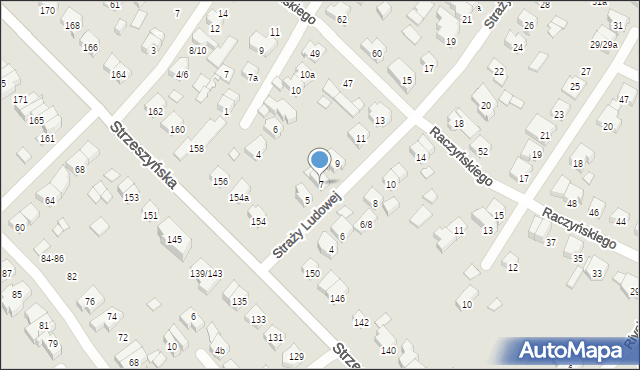
Straży Ludowej 7
Mapa Targeo
Adresy Poznań
Wstaw tę mapkę na swoją stronę
lub utwórz własną mapę w
Kreatorze map Targeo
Warunki korzystania z Targeo MapShot
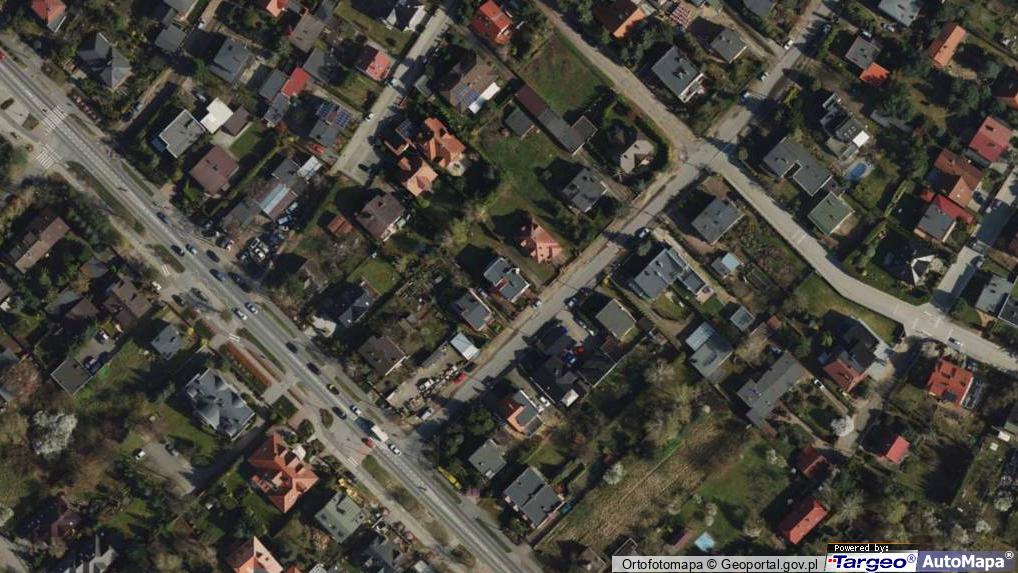
Przejdź na dużą mapę
Przejdź na dużą mapę
Poznaj sposób na uporządkowanie bazy danych adresowych
Straży Ludowej 7 (ul)
60-465
Poznań
(Poznań-Jeżyce)
Gmina Poznań
Powiat Poznań
Województwo wielkopolskie
Ulice w pobliżu
Poznań, Raczyńskiego Edwarda, Ulica (60-465)
Poznań, Strzeszyńska, Ulica (60-470)
Poznań, Pajzderskiego Nikodema, Ulica (60-469)
Najbliższe obszary kodów pocztowych
Kod pocztowy 60-469
Kod pocztowy 60-479
Kod pocztowy 60-473
Punkty w pobliżu
Aleksander Kobek Nice It, Ciechocińska 94, 60-473 Poznań
Citronas PHU, Szarych Szeregów 12, 60-462 Poznań
Plac zabaw, Ogródek, Dukielska 6, 60-476 Poznań
Adresy w pobliżu
Poznań, Straży Ludowej 5, Ulica (60-465)
(→ 15 m)
Poznań, Straży Ludowej 9, Ulica (60-465)
(→ 20 m)
Poznań, Straży Ludowej 6, Ulica (60-465)
(→ 41 m)
Poznań, Straży Ludowej 8, Ulica (60-465)
(→ 42 m)
Poznań, Straży Ludowej 6/8, Ulica (60-465)
(→ 44 m)
Poznań, Straży Ludowej 11, Ulica (60-465)
(→ 45 m)
Poznań, Pajzderskiego Nikodema 4, Ulica (60-469)
(→ 50 m)
Poznań, Pajzderskiego Nikodema 8, Ulica (60-469)
(→ 57 m)
Poznań, Strzeszyńska 150, Ulica (60-479)
(→ 65 m)
Poznań, Raczyńskiego Edwarda 47, Ulica (60-465)
(→ 76 m)
© 2003-2025 AutoMapa Sp. z o.o.
Moje Targeo
Kreator map
Zgłoś uwagę
Dodaj punkt
Panel użytkownika
Warunki użytkowania
Funkcjonalności
Geokodowanie
Trasy i traffic
Geomarketing
Monitoring
Funkcje API
Targeo PRO
Usługi dla biznesu
Kurierzy
Spedycja
Taksówki
Sieć sprzedaży
Reklamodawcy
Strony WWW
Informacje
Oferty pracy
Pomoc
Regulamin
Polityka prywatności
Kontakt
Kontakt dla biznesu
Ustawienia plików cookie


 Aleksander Kobek Nice It, Ciechocińska 94, 60-473 Poznań