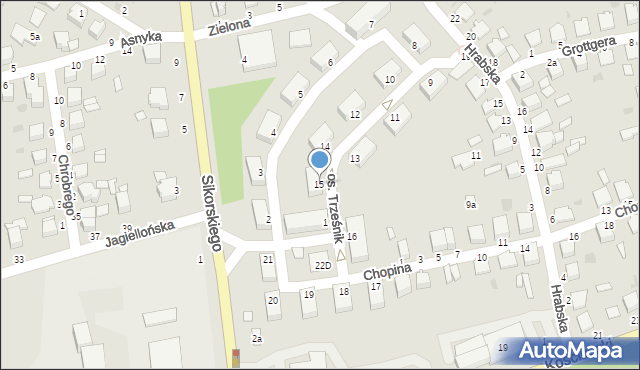
Osiedle Trześnik 15
Mapa Targeo
Adresy Łańcut
Wstaw tę mapkę na swoją stronę
lub utwórz własną mapę w
Kreatorze map Targeo
Warunki korzystania z Targeo MapShot
Przejdź na dużą mapę
Przejdź na dużą mapę
Planowanie i optymalizacja tras dla Twojej branży
Osiedle Trześnik 15 (os.)
37-100
Łańcut
Gmina Łańcut
Powiat łańcucki
Województwo podkarpackie
Ulice w pobliżu
Łańcut, Trześnik, Osiedle (37-100)
Łańcut, Hrabska, Ulica (37-100)
Łańcut, Króla Bolesława Chrobrego, Ulica (37-100)
Najbliższe obszary kodów pocztowych
Kod pocztowy 37-100
Punkty w pobliżu
Piotr Stanisławek PSt Partner, osiedle Władysława Sikorskiego 1, 37-100 Łańcut
Trans 2 EU Tomasz Kosior, ul. Artura Grottgera 2, 37-100 Łańcut
Plac zabaw, Ogródek, Osiedle Trześnik 16, 37-100 Łańcut
Zielona, Farna 1, 37-100 Łańcut
Adresy w pobliżu
Łańcut, Trześnik 1, Osiedle (37-100)
(→ 29 m)
Łańcut, Trześnik 14, Osiedle (37-100)
(→ 29 m)
Łańcut, Trześnik 13, Osiedle (37-100)
(→ 34 m)
Łańcut, Trześnik 3, Osiedle (37-100)
(→ 47 m)
Łańcut, Trześnik 16, Osiedle (37-100)
(→ 47 m)
Łańcut, Trześnik 2, Osiedle (37-100)
(→ 48 m)
Łańcut, Trześnik 4, Osiedle (37-100)
(→ 53 m)
Łańcut, Trześnik 5, Osiedle (37-100)
(→ 71 m)
Łańcut, Trześnik 19, Osiedle (37-100)
(→ 85 m)
Łańcut, Chopina Fryderyka 1, Ulica (37-100)
(→ 87 m)
© 2003-2026 AutoMapa Sp. z o.o.
Moje Targeo
Kreator map
Zgłoś uwagę
Dodaj punkt
Panel użytkownika
Warunki użytkowania
Zarządzanie dostawami
Optymalizacja trasy
Optymalizacja stref dostaw
Cyfrowe potwierdzenie odbioru
Operacje dostaw
Zarządzanie podwykonawcami
Inteligencja lokalizacji
Geokodowanie
Wybór lokalizacji
Analityka przestrzenna
Planowanie zasobów
Zarządzanie ryzykiem
Branże
Firmy kurierskie
Logistyka specjalistyczna
Handel detaliczny
Cateringi pudełkowe
Finanse i ubezpieczenia
Energetyka i infrastruktura
Służby ratunkowe
Informacje
Oferty pracy
Pomoc
Regulamin
Polityka prywatności
Kontakt
Kontakt dla biznesu
Ustawienia plików cookie


 Piotr Stanisławek PSt Partner, osiedle Władysława Sikorskiego 1, 37-100 Łańcut